Sahara Desert
The largest hot desert on Earth. About 9.2 million km2 across eleven countries, mostly rock and gravel. It was green 5,000 years ago and its dust feeds the Amazon.
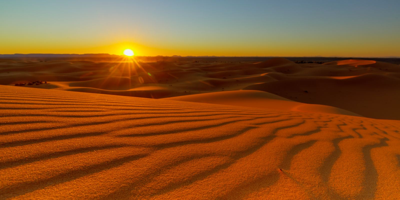
Erg Chebbi dunes at sunset, Morocco: Thomas Fuhrmann, CC BY-SA 4.0
Bigger than you think
The Sahara stretches about 4,800 km from the Atlantic coast of Mauritania and Morocco to the Red Sea, and up to about 1,800 km from the Mediterranean edge south to the Sahel. Its area of roughly 9.2 million km2 is close to the size of the United States or China. Only the polar deserts of Antarctica and the Arctic are larger, because a desert is defined by how little rain falls, not by heat.
Parts of the territory of Algeria, Chad, Egypt, Libya, Mali, Mauritania, Morocco, Niger, Sudan, Tunisia and Western Sahara lie inside it. Large areas receive less than 25 mm of rain in a typical year, and some places can go several years with none at all.
Rock, gravel and sand
The picture of endless dunes is only part of the story. Sand seas, called ergs, cover roughly a quarter of the Sahara. Much more of it is hamada, bare rocky plateaus swept clean by wind, and reg, wide plains of gravel. There are also mountains: the Tibesti range in Chad rises to 3,415 m at the volcano Emi Koussi, and the Hoggar (Ahaggar) mountains of southern Algeria reach about 2,900 m.
Dunes themselves come in many shapes. Crescent-shaped barchans march downwind, long linear dunes can run for tens of kilometres, and star dunes such as those of Erg Chebbi in Morocco build up where winds come from several directions and can rise more than 150 m.
When the Sahara was green
The Sahara has not always been a desert. Small, regular wobbles in Earth's orbit shift how strongly the summer sun heats North Africa, and that changes how far north the West African monsoon reaches. During the African Humid Period, roughly between 14,500 and 5,000 years ago, much of the region was grassland and scrub dotted with lakes. Lake Chad was then many times its present size.
Rock paintings and engravings at Tassili n'Ajjer in Algeria, a UNESCO World Heritage Site, show giraffes, elephants, cattle herds and people swimming, in places that are now among the driest on Earth. Fossil river channels hidden under the sand have been mapped by satellite radar.
Dust that feeds a rainforest
Wind lifts enormous amounts of Saharan dust into the air every year. Using the CALIPSO satellite, NASA scientists estimated that about 182 million tonnes of dust leave the Sahara each year, and that about 27.7 million tonnes settle over the Amazon basin on the other side of the Atlantic.
That dust carries phosphorus, a nutrient that Amazon soils lose to heavy rain. Much of it comes from the Bodele Depression in Chad, the dried bed of the ancient giant lake, so the old green Sahara is still fertilising South America today. Saharan dust also reaches the Caribbean and the southern United States, where it turns sunsets orange and can slow hurricane formation.
Visiting the desert
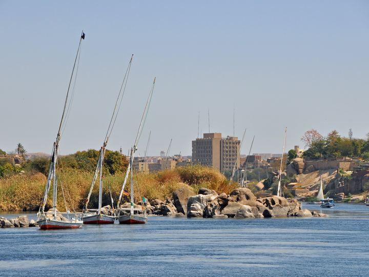
The easiest places to see big dunes are Merzouga and Erg Chebbi in Morocco, Douz on the edge of the Grand Erg Oriental in Tunisia, and the Western Desert oases of Egypt such as Siwa, Bahariya and the White Desert. The Nile is the only river that crosses the Sahara all year, which is why almost all of Egypt's population lives along it.
October to April is the comfortable season. Summer days often pass 40 C, while winter nights in the open desert can drop close to freezing, so bring warm layers as well as sun protection. Check your government's current travel advice before planning a trip, since security conditions differ greatly between countries and regions.
- NASA: NASA satellite reveals how much Saharan dust feeds Amazon's plants
- UNESCO: Tassili n'Ajjer
- Wikipedia: Sahara
- Wikipedia: African humid period
Facts on this page were checked against these sources.
- Erg Chebbi dunes at sunset, Morocco: Thomas Fuhrmann, CC BY-SA 4.0
Text written by Geographical Effect.