The Fjords of Norway
Valleys carved by ice and filled by the sea. Sognefjord runs 205 km inland and 1,308 m deep. How glaciers carved Norway's fjords, its 100,000 km coast, and how to see them.
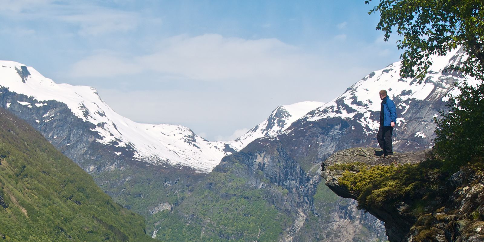
Geirangerfjord, western Norway: Jörg Hempel, CC BY-SA 2.0 de
How a fjord forms
A fjord is a long, narrow inlet of the sea with steep sides, made by a glacier. During ice ages, thick glaciers flowed from the Norwegian mountains to the coast along older river valleys. Ice is far more powerful than water at eroding rock, and it ground those valleys into deep U shapes, often scouring their floors far below sea level.
When the ice melted, the sea flooded in. Many fjords are much deeper in the middle than at the mouth, where a shallow ridge of rock or glacial debris called a sill marks the old edge of the glacier. That is why ships can sail into water more than 1,000 m deep surrounded by mountains.
Sognefjord and the record coast
Sognefjord, north of Bergen, is the longest and deepest fjord in Norway, reaching about 205 km inland and about 1,308 m deep, with cliffs rising more than 1,000 m above the water. Only a handful of fjords in the world, such as Scoresby Sund in Greenland, are longer.
Fjords and islands give Norway one of the longest coastlines on Earth. The Norwegian Mapping Authority measures the mainland coast at about 28,900 km when every fjord is followed, and about 100,900 km when its roughly 240,000 islands are included, even though the country is only about 1,750 km long.
The World Heritage fjords
In 2005 UNESCO listed Geirangerfjord and Naeroyfjord together as the West Norwegian Fjords. Geirangerfjord is famous for waterfalls such as the Seven Sisters and the Suitor facing each other across the water, and for abandoned clifftop farms like Skageflaa that were reached by ladders. Naeroyfjord, a branch of Sognefjord, narrows to about 250 m between walls more than 1,000 m high.
The steep walls also bring natural hazards. Above Sunnylvsfjorden, near Geiranger, the Aknes rock slope is moving a few centimetres a year and is monitored around the clock, because a large collapse into the fjord could create a dangerous wave. Warning systems and evacuation plans are in place.
Getting around
The Flam Railway climbs from the village of Flam on Aurlandsfjord to Myrdal on the mountain plateau, rising 863 m in about 20 km, and most of the line has a gradient of 5.5 percent, making it one of the steepest standard-gauge railways in the world. Combined with the Bergen Railway and a boat on Naeroyfjord, it forms the popular Norway in a Nutshell route.
Drivers can follow the Eagle Road (Ornesvingen) down to Geiranger and the hairpin bends of Trollstigen, though some mountain roads close in winter. Fjord ferries are part of the road network, and the coastal express ships link dozens of ports along the coast all year.
Weather and hiking
The fjord country is green because it is wet. Bergen receives more than 2,000 mm of rain in a typical year, so pack a waterproof jacket in every season. May to September brings long days and open mountain roads; in June the sun barely sets in the north.
Popular hikes include Preikestolen (Pulpit Rock) above Lysefjord, a rock platform about 604 m above the water, and Trolltunga near Odda, a long, demanding day of roughly 20 to 28 km depending on the start point. Go with the right gear and an early start, check the weather, and turn back if fog or rain move in.
- UNESCO: West Norwegian Fjords, Geirangerfjord and Naeroyfjord
- Wikipedia: Geography of Norway
- Wikipedia: Flam Line
- Wikipedia: Sognefjord
Facts on this page were checked against these sources.
- Geirangerfjord, western Norway: Jörg Hempel, CC BY-SA 2.0 de
Text written by Geographical Effect.