Mount Everest
The highest point on Earth. Mount Everest rises 8,848.86 m on the Nepal and China border, and it is still growing. Geology, climbing seasons, permits and trekking.
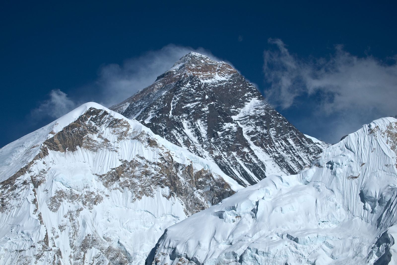
Mount Everest: Vyacheslav Argenberg, CC BY 4.0
How the world's highest mountain grew
Mount Everest stands where the Indian Plate has been ramming into Asia for around 50 million years. The collision crumpled the crust upward into the Himalaya and the Tibetan Plateau, and it has not stopped. GPS measurements show the region still rising by a few millimeters a year, though erosion wears much of that away.
The summit itself is made of limestone that formed on the floor of an ancient ocean. Climbers on the top of the world are standing on rock that contains fossils of sea creatures.
Video: Everest - Getting to the Top | National Geographic (National Geographic), embedded from YouTube.
Measuring the top
Surveyors in the 1850s identified the peak, then called Peak XV, as the highest in the world. It was later named after George Everest, a former head of the Survey of India. Nepalis call it Sagarmatha and Tibetans call it Chomolungma, names much older than the English one.
In 2020 Nepal and China announced a joint height of 8,848.86 m, including the snow cap. The figure was based on GPS work by survey teams on the summit, and it settled years of slightly different official numbers.
Climbing in the death zone
Edmund Hillary of New Zealand and Tenzing Norgay, a Sherpa climber, made the first confirmed ascent on 29 May 1953. Since then thousands of people have reached the summit, most of them in a short window in May, when the jet stream winds briefly lift off the peak before the monsoon arrives.
Above about 8,000 m the air holds roughly a third of the oxygen found at sea level, and the body cannot acclimatize. Most climbers use bottled oxygen and rely on Sherpa guides who fix ropes and carry loads. Climbers in Nepal also pay a government permit fee, which Nepal raised in September 2025 to US$15,000 for the spring season.
Seeing Everest without climbing it
Most visitors experience Everest on the trek to Everest Base Camp in Nepal's Khumbu region. The route usually takes about 12 to 14 days round trip from the airstrip at Lukla, passing Sherpa villages and monasteries inside Sagarmatha National Park, a UNESCO World Heritage Site. Many trekkers also climb Kala Patthar, a viewpoint above base camp with a classic view of the summit.
The best trekking seasons are October to November, when skies are clearest, and March to May. Take altitude seriously: ascend slowly, build in rest days and turn back if symptoms worsen.
- Kathmandu Post: 8848.86 metres. That's the height of Mt Everest now
- Alan Arnette: How Much Does It Cost to Climb Everest? 2026 Edition
- Wikipedia: Mount Everest
Facts on this page were checked against these sources.
- Mount Everest: Vyacheslav Argenberg, CC BY 4.0
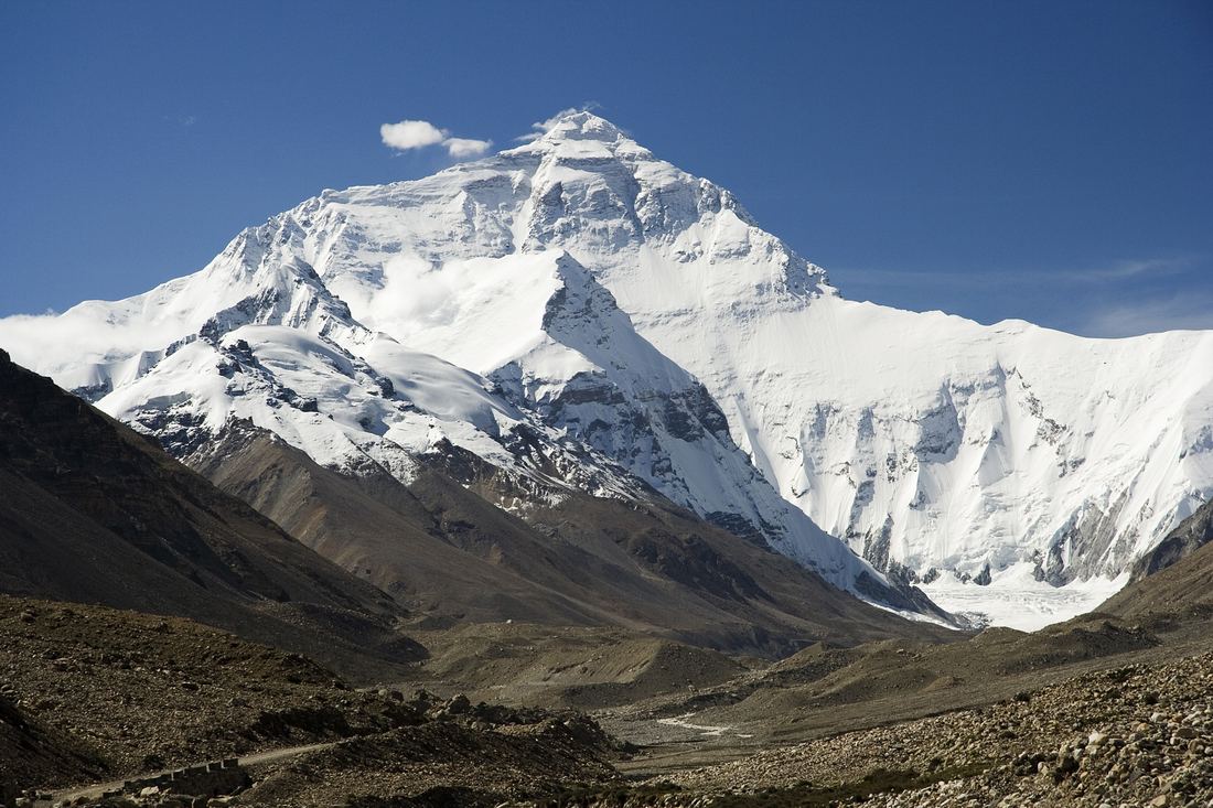
- Everest's north face from Tibet: Luca Galuzzi (Lucag), CC BY-SA 2.5
Text written by Geographical Effect.