
Surrey
City in Canada: population, location, elevation, climate and landmarks.
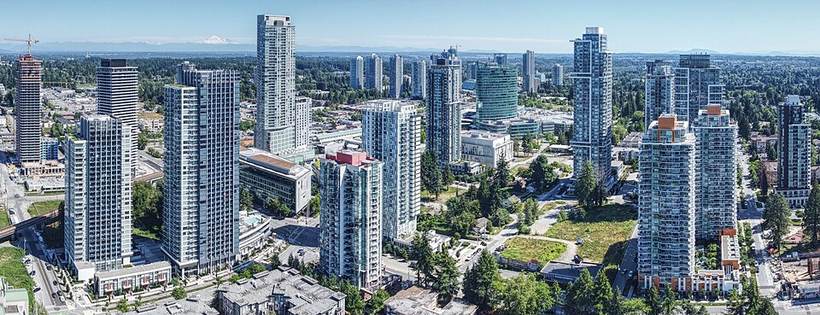
Surrey Central (2025): Northwest, CC BY 4.0 (Wikimedia Commons)
.jpg)
Overview
Surrey is a city in Canada, in British Columbia. About 568,322 people live in the city proper, making it the 11th largest city of Canada in our atlas.
It lies at 49.11° N, 122.83° W, about 82 m (269 ft) above sea level, and keeps time on the America/Vancouver time zone.
Location
Red dot: Surrey. Green dots: other major cities of Canada. Map data: Natural Earth.
Landmarks and places to see
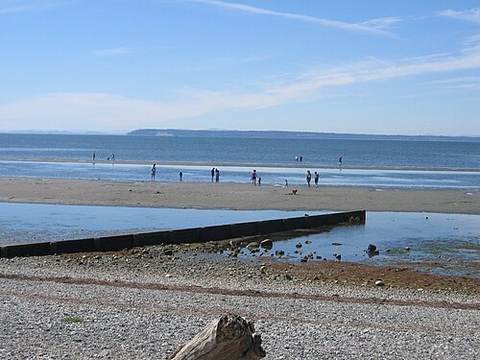
Crescent BeachHuman settlement in Metro Vancouver Regional District, British Columbia, Canada
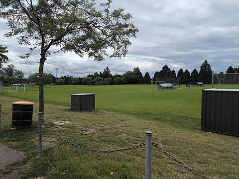
South Surrey Athletic ParkPark in British Columbia, Canada
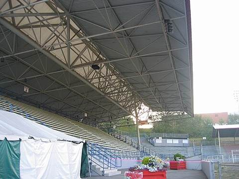
Stetson BowlBuilding in British Columbia, Canada
Sungod Recreation CentreRecreation centre in Delta, British Columbia, Canada
Popular sights within a few kilometres of the city centre, ranked by how widely they are documented on Wikipedia.
What to eat in CanadaNational dishes, street food, desserts and drinks on Intercontinental Chef.Nearby major cities
- Vancouver · 27 km
- Calgary · 671 km
- Edmonton · 840 km
- Winnipeg · 1,868 km
- Brampton · 3,186 km
- Hamilton · 3,190 km
- Mississauga · 3,196 km
- Toronto · 3,212 km
Sources
- Population, coordinates, elevation, time zone: GeoNames 6159905 (CC BY 4.0)
- Wikidata Q390583 (CC0)
- Climate: NASA POWER 2001-2025 climatology
Text written by Geographical Effect from these sources.
Photo credits
- Surrey Central (2025): Northwest, CC BY 4.0 (Wikimedia Commons)
- Cresbeach-groyne: Arnold C, Attribution (Wikimedia Commons)
- South Surrey Athletic Park: Kevmoo, CC BY-SA 3.0 (Wikimedia Commons)
- Stetson-bowl-stadium: Arnold C, Attribution (Wikimedia Commons)


