
Willemstad
Capital of Curaçao: population, location, elevation, climate and landmarks.
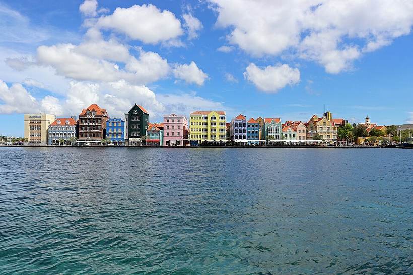
Handelskade in Willemstad: Coolcaesar, CC BY 4.0 (Wikimedia Commons)

Overview
Willemstad is the capital of Curaçao. About 125,000 people live in the city proper, making it the 1st largest city of Curaçao in our atlas.
It lies at 12.12° N, 68.89° W, about 1 m (3 ft) above sea level, and keeps time on the America/Curacao time zone. It sits inside the tropics.
Location
Red dot: Willemstad. Green dots: other major cities of Curaçao. Map data: Natural Earth.
Landmarks and places to see
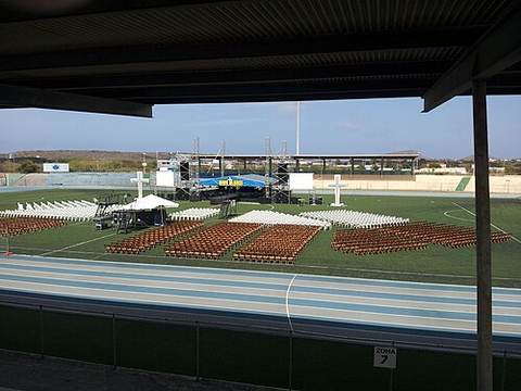
Ergilio Hato StadiumStadium in Willemstad, Curacao
Stadion dr. Antoine MaduroStadium in Willemstad, Curaçao
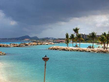
Seaquarium BeachPublic beach in Curaçao
Popular sights within a few kilometres of the city centre, ranked by how widely they are documented on Wikipedia.
What to eat in CuraçaoNational dishes, street food, desserts and drinks on Intercontinental Chef.Nearby major cities
Sources
- Population, coordinates, elevation, time zone: GeoNames 3513090 (CC BY 4.0)
- Wikidata Q132679 (CC0)
- Climate: NASA POWER 2001-2025 climatology
Text written by Geographical Effect from these sources.
Photo credits
- Handelskade in Willemstad: Coolcaesar, CC BY 4.0 (Wikimedia Commons)
- Stadion Ergilio Hato: Burgbernd, CC BY-SA 3.0 (Wikimedia Commons)
- Wilhemstad from the coast: User Alexflink, Public domain (Wikimedia Commons)

