
Santa Tecla
City in El Salvador: population, location, elevation, climate and landmarks.
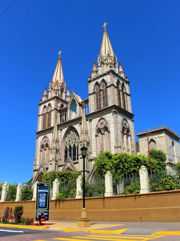
SantaTecla: Stvn87, CC BY-SA 3.0 (Wikimedia Commons)

Overview
Santa Tecla is a city in El Salvador, in La Libertad Department. About 124,694 people live in the city proper, making it the 6th largest city of El Salvador in our atlas.
It lies at 13.68° N, 89.28° W, about 965 m (3,166 ft) above sea level, and keeps time on the America/El_Salvador time zone. It sits inside the tropics.
Location
Red dot: Santa Tecla. Green dots: other major cities of El Salvador. Map data: Natural Earth.
What to eat in El SalvadorNational dishes, street food, desserts and drinks on Intercontinental Chef.Nearby major cities
Sources
- Population, coordinates, elevation, time zone: GeoNames 3584257 (CC BY 4.0)
- Wikidata Q723246 (CC0)
- Climate: NASA POWER 2001-2025 climatology
Text written by Geographical Effect from these sources.
Photo credits
- SantaTecla: Stvn87, CC BY-SA 3.0 (Wikimedia Commons)