
Funafuti
Capital of Tuvalu: population, location, elevation, climate and landmarks.
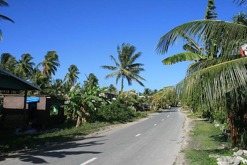
Funafuti township: Davidarfonjones, CC BY-SA 3.0 (Wikimedia Commons)
Overview
Funafuti is the capital of Tuvalu. About 6,320 people live in the city proper.
It lies at 8.52° S, 179.19° E, about 7 m (23 ft) above sea level, and keeps time on the Pacific/Funafuti time zone. It sits inside the tropics.
Location
Red dot: Funafuti. Green dots: other major cities of Tuvalu. Map data: Natural Earth.
Climate
Funafuti has a tropical rainforest climate (Köppen Af). The warmest month is usually Jan, with average highs near 29°C (84°F); the coolest nights come in Mar at about 28°C (82°F). Around 2,531 mm (100 in) of rain and snow falls in a typical year, most of it in Jan.
Bars: average daily high and low (°C) for each month; blue columns and figures: average precipitation (mm). Gridded 2001-2025 averages from NASA POWER, so mountain and coastal spots can differ from local station records.
Landmarks and places to see
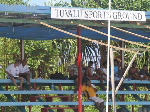

Popular sights within a few kilometres of the city centre, ranked by how widely they are documented on Wikipedia.
What to eat in TuvaluNational dishes, street food, desserts and drinks on Intercontinental Chef.- Population, coordinates, elevation, time zone: GeoNames 2110394 (CC BY 4.0)
- Wikidata Q34126 (CC0)
- Climate: NASA POWER 2001-2025 climatology
Text written by Geographical Effect from these sources.
- Funafuti township: Davidarfonjones, CC BY-SA 3.0 (Wikimedia Commons)
- Vaiaku-stadion 02: Dutch Support Tuvalu, CC BY-SA 1.0 (Wikimedia Commons)
