
Bafatá
City in Guinea-Bissau: population, location, elevation, climate and landmarks.
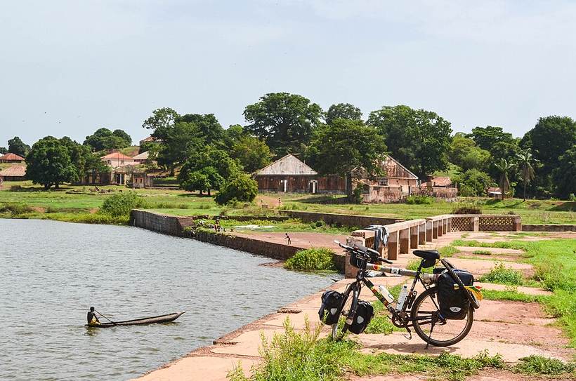
Day221-Bike-130612 (9290907859): jbdodane, CC BY 2.0 (Wikimedia Commons)
.jpg)
Overview
Bafatá is a city in Guinea-Bissau. About 33,502 people live in the city proper, making it the 5th largest city of Guinea-Bissau in our atlas.
It lies at 12.17° N, 14.66° W, about 20 m (66 ft) above sea level, and keeps time on the Africa/Bissau time zone. It sits inside the tropics.
Location
Red dot: Bafatá. Green dots: other major cities of Guinea-Bissau. Map data: Natural Earth.
Climate
Bafatá has a tropical savanna climate (Köppen Aw). The warmest month is usually Apr, with average highs near 41°C (105°F); the coolest nights come in Jan at about 16°C (61°F). Around 1,515 mm (60 in) of rain and snow falls in a typical year, most of it in Aug.
Bars: average daily high and low (°C) for each month; blue columns and figures: average precipitation (mm). Gridded 2001-2025 averages from NASA POWER, so mountain and coastal spots can differ from local station records.
What to eat in Guinea-BissauNational dishes, street food, desserts and drinks on Intercontinental Chef.Nearby major cities
- Population, coordinates, elevation, time zone: GeoNames 2375254 (CC BY 4.0)
- Wikidata Q799788 (CC0)
- Climate: NASA POWER 2001-2025 climatology
Text written by Geographical Effect from these sources.
- Day221-Bike-130612 (9290907859): jbdodane, CC BY 2.0 (Wikimedia Commons)